 111
 2
 3
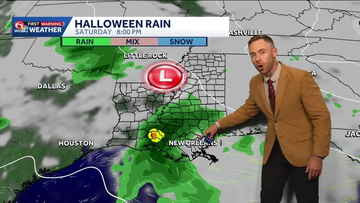
NEW ORLEANS, LA — Rain chances are climbing for Halloween in southeast Louisiana, with forecasters saying the region could see localized heavy downpours and a few thunderstorms just as trick-or-treating gets underway. The weather setup still needs time to sharpen, but the risk of wet conditions is expected to build toward the weekend.
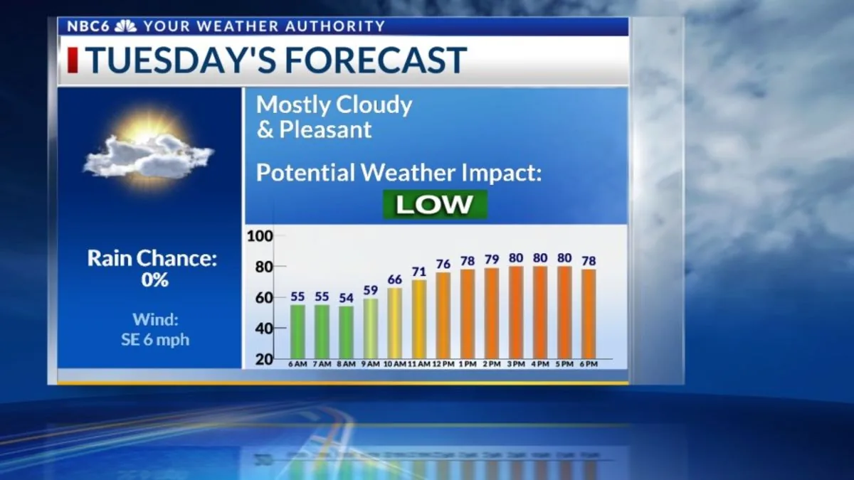
For now, warm and dry weather is expected to hold through Thursday, giving the area a few more comfortable days before the next round of change arrives. Highs are expected to stay in the 80s, while overnight lows settle into the 50s north of Lake Pontchartrain and the 60s on the Southshore.
The week starts with a fairly quiet pattern, and that stretch should continue through Thursday. Forecasters say the atmosphere will remain warm and mostly dry, keeping outdoor plans in good shape for a few more days.
Temperatures are expected to remain well above average for late October, with afternoon highs in the 80s. Nighttime readings will be a little cooler, especially in areas north of the lake, where lows are forecast to fall into the 50s. Southshore neighborhoods should stay milder, with lows in the 60s.
That calm stretch begins to break down late in the week. A few coastal showers could show up on Friday, serving as an early sign that moisture is returning to the area. Forecasters say rain chances then increase further as the weekend approaches.
The highest rain chances are expected on Saturday, which is Halloween. Forecast models point to the possibility of scattered showers and thunderstorms, and some of those storms could produce brief but intense rainfall.
That means trick-or-treating plans may be affected in some neighborhoods, especially if heavier cells move through during the evening. The concern is not necessarily widespread severe weather, but rather quick bursts of rain that could make streets wet and visibility poorer for families outdoors.
Forecasters say the exact timing and location of the rain will become clearer as the week goes on. For now, the message is to watch the forecast closely and be prepared for changing conditions if outdoor Halloween plans are on the calendar.
The Weather Prediction Center has placed the area in a Marginal Risk, or Level 1 out of 4, for excessive rainfall. That designation means flooding is not expected to be widespread, but isolated problems are possible if storms repeatedly move over the same places.
Street flooding is the main concern highlighted by forecasters. In a city where heavy rain can quickly overwhelm drainage in low-lying spots, even a short period of intense rainfall can create travel issues and make some streets difficult to cross.
The severe weather threat appears to be low at this point. Forecasters are not signaling a major wind or hail event, but they are watching for storms that could produce locally heavy rain and a few rumbles of thunder during the holiday period.
Even with rain in the forecast, meteorologists are urging residents not to make final assumptions too early. The setup is still several days away, and changes in timing or track could alter where the heaviest rain falls.
That uncertainty is part of the reason forecasters are resisting any early calls to cancel plans. They say the system needs more time for details to come into focus, including whether the worst weather arrives before, during, or after prime Halloween hours.
For now, the practical advice is to keep an eye on updates through the week. Families planning to be outside on Saturday may want to build in flexibility, especially if they expect to travel between neighborhoods or spend extended time outdoors.
Halloween is not the only period of unsettled weather on the horizon. Forecasters say another system could move through Tuesday into Wednesday, bringing a new round of showers and storms after a brief lull on Sunday.
Rain chances are expected to decrease after the Halloween system passes, but the improvement may not last long. The next disturbance could return moisture to the region and keep the forecast active into the middle of next week.
That means the pattern across New Orleans remains one to watch. After a mostly warm and dry stretch early in the week, the region may be looking at repeated opportunities for rain, with the weekend system followed by another round early next week.