 111
 2
 3
SHREVEPORT, LA — Dry weather across the ArkLaTex is expected to continue through much of the work week, but rain is forecast to move back into the region Friday night and linger into Saturday. Meteorologists at KTAL say temperatures will remain above normal for several days before a stronger cold front arrives early next week. That front could bring a few storms, although the risk of severe weather is currently viewed as low.
The main concerns over the next several days are timing and rainfall totals. Forecasters say some showers could still be around during Saturday evening’s Halloween trick-or-treating, while a second system early next week may add more rain and a slight chance of stronger storms.
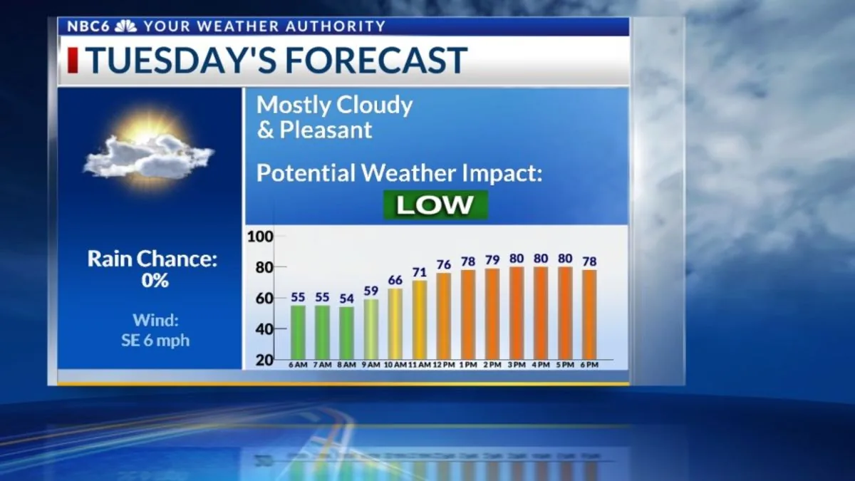
Little change is expected in temperatures through Friday. Highs will stay in the lower 80s across the region, keeping afternoons well above seasonal norms for late October.
Nighttime lows will also trend upward as Gulf moisture returns. Forecasters say overnight temperatures should gradually rise from the upper 50s into the lower 60s, making for a mild stretch of evenings and early mornings.
Cloud cover should vary during the week, but the overall pattern remains dry for now. Sunshine and clouds are expected to mix through the next several days, with more clouds likely to develop Tuesday before a bit of clearing Wednesday and Thursday.
A weak upper-level disturbance is expected to cross the area this weekend, giving the first round of rain a chance to develop late Friday night. That rain should continue through much of Saturday, according to KTAL meteorologists.
The system does not appear especially strong, and rainfall amounts are expected to be modest for most of the region. The Weather Prediction Center says much of the area should receive less than half an inch, though totals could approach an inch near the southeastern edge of the forecast area.
Even so, the timing matters because some lingering showers could remain in place Saturday evening. That raises the possibility of damp conditions for people heading out for Halloween activities and trick-or-treating.
A more substantial cold front is expected to move through late Monday night or early Tuesday morning. Forecasters say that boundary could be capable of producing a few strong storms as it crosses the ArkLaTex.
At this point, the severe weather threat is considered low, but the setup will continue to be monitored. The front marks the next chance for more organized weather after the weekend rain.
Behind the front, temperatures are expected to cool back down. Highs should slip into the middle 70s, while overnight lows fall into the 40s and lower 50s.
While the weekend system is expected to be limited, the combination of rain from that disturbance and the early-week front could add up across the region. KTAL says the ten-day rainfall potential may exceed one inch over much of the area from now through next Thursday.
Forecast amounts have eased somewhat compared with the previous day, but additional moisture is still likely to matter for communities hoping for a dry Halloween weekend. The developing pattern reflects the return of Gulf moisture, which will help keep temperatures mild and support repeated rounds of cloud cover and showers.
Beyond the immediate rain chances, the broader forecast points to a gradual shift after early next week. Temperatures will stay relatively steady for several more days before the cold front brings a more noticeable cooldown.
Forecasters expect daytime highs to settle back into the middle 70s, while overnight lows become more comfortable in the 40s and lower 50s. That change would mark a break from the warm, humid pattern that dominates the end of the week.
KTAL says it will provide more detailed updates on the next ten days of rain and a six-week outlook for both precipitation and temperatures. For now, the focus remains on the return of showers Friday night, the chance of lingering Halloween rain Saturday evening, and the possible storms early next week.